
As many of my readers know, I publish and maintain the Georgia ARES Situational Awareness Map. This map is a project that goes all the way back to 2016, when Georgia ARES was looking to improve the quality of repeater data in the state. At first the map was just a front-end to a project called the Georgia ARES Repeater Database Initiative. The repeater database initiative was seen as a way to get repeater owners to submit and update their own data, thereby improving the overall accuracy and reliability of repeater information. The map was created simply to show repeater distribution across Georgia, but was very quickly added to and improved. By 2019 the map had moved far beyond its original purpose, and had morphed into a situation awareness tool.

As with any web-based product or site, changes happen with regularity. New data layers become available, old data layers are pulled off-line. The development platform itself changes over time; the technology base that the map is built on undergoes revisions and updates. New capabilities are added, performance improvements are introduced and security vulnerabilities are fixed. I'm lucky in that the technology platform I use - ESRI's ArcGIS Online - is updated quarterly and they are always bringing new capabilities and features to the web mapping environment. The Situational Awareness Map has undergone at least three major changes in five years, as ESRI has updated the underlying platform. It's the latest change that I'll be discussing here.
The map has been moved to a new environment called Experience Builder. Experience Builder is a highly configurable web mapping environment that gives the developer a wide variety of tools and options to pick from, without having to write any code. While I could have hung on to the older development environment for a while longer (it will be decremented over time), there is capability in Experience Builder that I've been waiting years for ESRI to introduce. So, over to Experience Builder we go!
I have also decided to close down the associated Georgia ARES Repeater Database initiative. It's had a good run, but participation has fallen off and it's no longer worth the effort to keep it going. For repeater data I now rely on Repeaterbook.com. The owner of Repeaterbook.com, Garrett Dow, KD6KPC, has been extremely gracious in giving me permission to include his repeater data in the map at no charge.
I'm also broadening the focus of the map. Until this update the Situational Awareness Map was entirely Georgia-focused; it was as though Georgia was an island unto itself. However, we are often directly influenced by what happens in other states, particularly when it comes to weather. Some ARES ECs, particularly those that serve counties that border other states, have asked that I extend coverage into these neighbor states. That process was started with this update, and I now make county and repeater data available for Alabama, Florida, Tennessee, North Carolina and South Carolina.
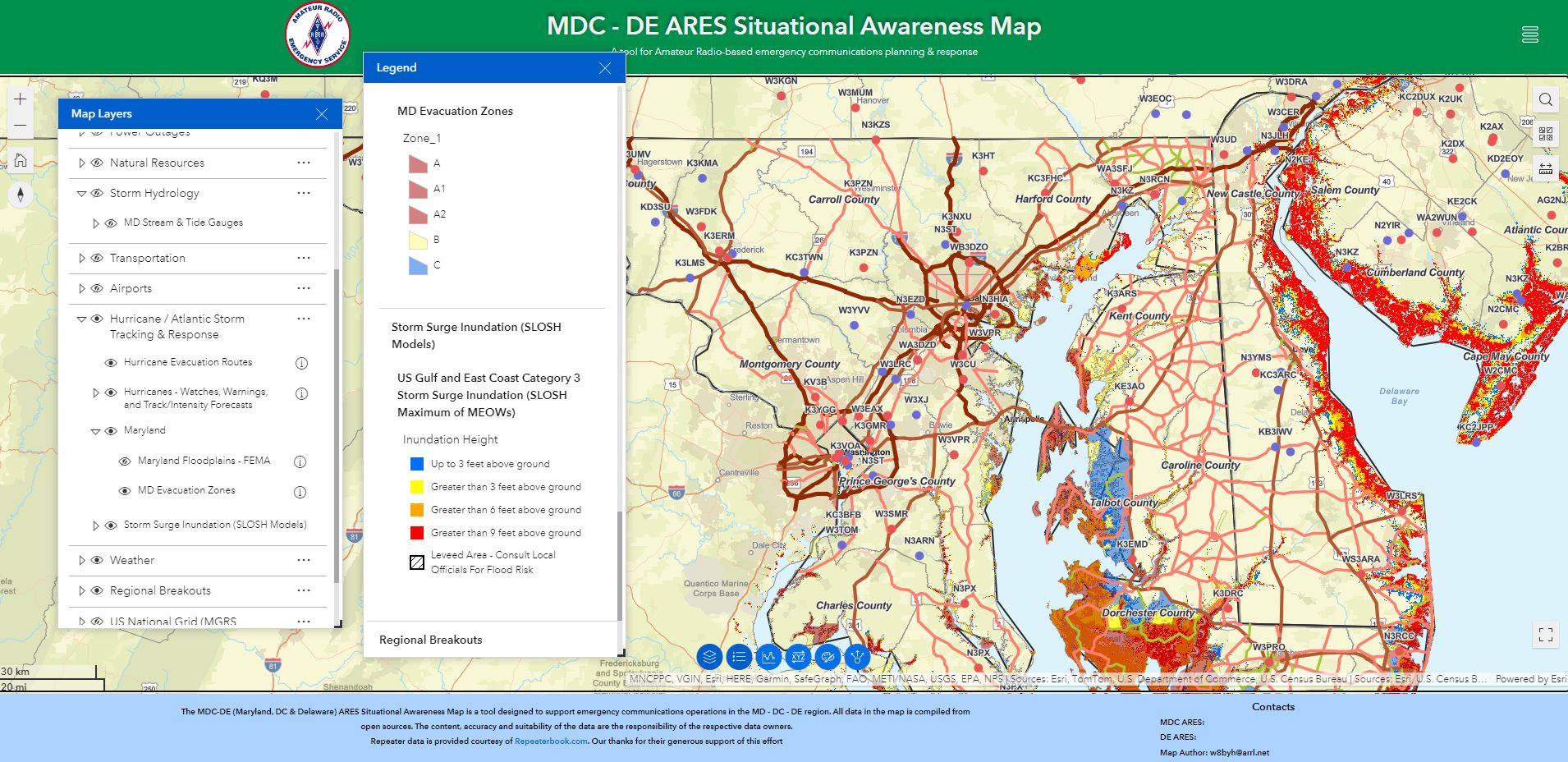
The map also takes advantage of a new feature I call 'layer groups'. In the old map, there was no way to group related data layers (say, 70 cm, 1.5 meter and 2 meter repeaters) under a single heading. This resulted in an overly long and complex data layer listing that was difficult to navigate. The new layer grouping feature makes finding data layer much easier, and provides a cleaner, simpler layout.
 |
| Expandable and collapsible layer groups makes navigating data layers much easier |
Other enhanced features or new data in the map includes:
- The ability to generate elevation profiles - line of sight between two points - directly in the Situational Awareness Map. The capability is available in the function 'widget' bar at the bottom of the map (the line of blue circles). In the past this capability was only available in a separate application, but I've been able to incorporate the feature directly into the map
- Georgia repeater coverage heat mapping (under the Repeater Planning Coverage layer group). This layer provides repeater density-based heat mapping to help evaluate repeater coverage
- Under the Situational Awareness Infrastructure layer group, I've added Georgia Dams (Safe Dam Program) managed by GDOT, and I've re-added Beach Webcams. The camera layer is what I'll call 'fickle' - these are cameras installed and maintained by commercial activities like resorts and hotels. Camera feed availability can be spotty, particularly during hurricanes or coastal storms. If the camera feed is up and operating, great. If not, well...
- Under the Transportation layer group, I've added GDOT 511 Events - a point layer of major traffic issues, mainly related to long-term construction activities. I've also brought in a more up-to-date GDOT traffic camera feed - GDOT 511 Cameras
- Under the Hurricane / Tropical Storm Response & Management layer group, I've added the national data layers for the NOAA Storm Surge (SLOSH) Data. SLOSH stands for Sea, Lake, and Overland Surges from hurricanes and storms. These layers help visualize coastal areas that will be inundated in each of the five hurricane categories
- Under the Grids layer, I've added the Georgia State Patrol GSP Aviation SAR Grid. This grid divides the state up into roughly 16 x 19 mile grid squares used to coordinate aerial search & rescue activities
No comments:
Post a Comment