
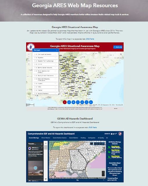
2022 is finally here, and with it a new Georgia ARES Situational Awareness Map!

The map has been rebuilt using a new web mapping platform provided by ESRI called Experience Builder. Experience Builder is a web app development environment that provides greater functionality and flexibility than the technology platform the old Situational Awareness Web Map was built on.
ESRI's Experience Builder is still a maturing product, so all the functionality I want to add to the Situational Awareness Map is still not available. But Experience Builder as a development platform is far enough along that I decided it was time to make the switch.
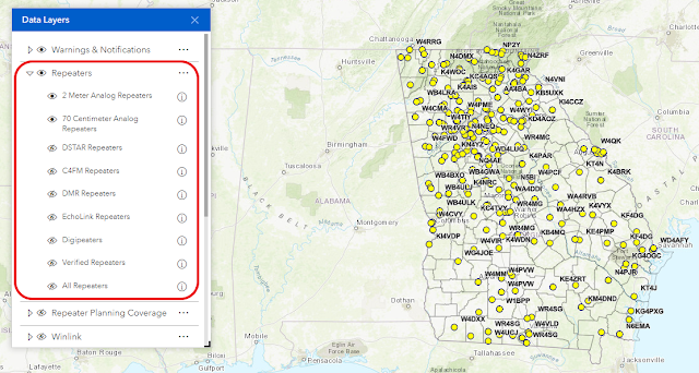
All of the data (map) layers that were in the old map have been brought forward into this new map - repeater information, weather watches and warnings, critical infrastructure, traffic data, etc.
The single biggest change in this new map is in how these data layers are managed. In the old Situational Awareness map, all the data layers were in one very long and often confusing stack. It could be tough to find the data layer you wanted to turn on or off. This new map takes advantage of the ability to create logical layer 'groups' - expandable and collapsible groupings of related map data. For example, the new Data Layers listing now groups all repeater data under a single expandable heading called Repeaters.
Most of the functionality that was in the old Situational Awareness Map has been included in this new map:
- The ability to view the data attribute tables
- The ability to conduct pre-formatted searches for repeaters by callsign, and search for street addresses and individual counties
- The ability to identify points on the ground by latitude/longitude, street address, US National Grid and UTM coordinates
- The ability to switch base maps
- The ability to do basic linear and area measurements
- The ability to share the map on social media
- The ability to generate elevation profiles (a new feature not available in the old map)
- The ability to do markups (graphics) on the map
- The ability to print from within the map
- The ability to overlay custom grids
Great work in one box. It would take hours just to come up with desired results on a single subject. I commend your efforts!
ReplyDelete73 Warren NE4T